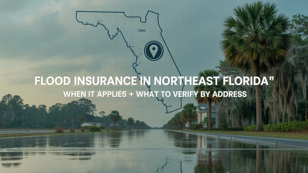
Flood Insurance in Northeast Florida: When It Applies and What to Verify by Address
In Northeast Florida, “Is flood insurance required?” is almost never a statewide question. It’s an address question. Two homes a few streets apart in Duval, St. Johns, Clay, or Nassau can land in different map zones, different lender requirements, and different underwriting timelines.
This is a buyer-protective, plain-English workflow you can run before you get deep into a real estate contract. No premium guesses. No fear. Just the steps that keep you from getting surprised late: check the maps, pull the right documents, and ask a short set of questions early.
If you want the “map basics” version first, read Flood Zones in Northeast Florida: How to Check a Property and What It Means. This article stays focused on when flood insurance applies and what to verify by address.
Zone Decoder: what you’re usually looking at on the FEMA map
FEMA zones are not a personality test for a neighborhood. They’re a standardized mapping system lenders and insurers reference for a specific property. Here’s the simple translation most homebuyers need first: what the zone usually means for lender requirements.
Flood insurance is often optional from a lender-requirement standpoint, depending on your loan and lender rules. “Optional” does not mean “no water risk.” It means the property is typically mapped outside the highest-risk zone on the FEMA map.
Flood insurance is often required when you have a federally backed mortgage (or a loan that follows federal flood rules) and the insured structure is in a mapped Special Flood Hazard Area (SFHA). Your lender confirms the final requirement.
Keep the frame stable
Requirements can change with loan type and lender overlays. The buyer-protective move is not guessing “required vs optional” from a conversation at a showing. It’s verifying the address on the official map, saving proof, and asking your lender what they require for that specific property.
When flood insurance applies in a Northeast Florida real estate transaction
Required scenarios (typical)
The typical “required” scenario looks like this: you’re using a federally backed mortgage (or a loan that follows federal flood rules), and the insured structure is in a mapped Special Flood Hazard Area (SFHA). In that situation, flood insurance is commonly required to close.
Optional scenarios (common in practice)
Outside an SFHA, flood insurance is often optional from a lender rule perspective. In Northeast Florida, it’s still worth verifying because local water behavior can be street-by-street: flat lots, retention ponds and swales, curb inlets that work fine until a big rain week, and older areas where drainage patterns are just different than a newer planned community.
Loan type and lender overlays (high level)
Even if the map looks straightforward, your lender may have overlays (extra requirements) tied to their underwriting process or investor rules. You don’t need a financing lecture to protect yourself. You just need to ask early which flood determination they’re using and what documents they need for this address.
What to verify by address: the workflow (do this before you get deep into the contract)
This is the “do it, save it, don’t rely on memory” version. Treat it like your inspection checklist: you’re building a file you can hand to your lender, your insurer, and your future self.
Before you start
- Use the exact street address, and confirm the map pin is on the right property.
- Focus on the insured structure location, not just the parcel outline.
- Plan to save screenshots and downloads in one folder with your real estate documents.
Step 1: Confirm the FEMA flood zone for the address (and save proof)
Use the FEMA Flood Map Service Center address search. Enter the address, confirm the pin, capture the zone label, and save a screenshot plus the map panel/FIRMette if available.
Step 2: Look for Base Flood Elevation (BFE) information when shown
BFE (Base Flood Elevation) may appear in mapped areas. When it’s present, it’s a signal that elevation-related documentation can matter in underwriting or insurer review. Don’t guess from the street; make this a document step.
Step 3: Check whether an Elevation Certificate exists (if it does, get a copy early)
Elevation Certificates don’t exist for every home. When they do exist, they can help clarify the structure’s documented elevation details for this specific address. Ask the seller/listing agent if one exists and also run the Florida Elevation Certificate search.
Common mix-up: flood zones vs evacuation zones
FEMA flood zones are used for insurance and underwriting decisions. Evacuation zones are emergency planning for storms. They are not the same map. Keep your flood-insurance verification tied to FEMA and the address documents in this workflow.
Step 4: If your lender’s flood determination doesn’t match what you saw, resolve it early
Ask your lender for the flood determination report they are underwriting to for this address. Confirm the report references the correct property and structure, then compare it to your saved FEMA results. If underwriting needs a specific document (like an Elevation Certificate if one exists), you want to find out early.
Step 5: Map updates and prior coverage (keep it high-level, verify the rule you rely on)
Flood maps can change. You may hear people mention prior zones or “grandfathering.” Don’t plan your closing around a phrase. Ask your lender and insurer how map updates and prior coverage are treated for this address and your loan/policy setup.
Step 6: If a current flood policy exists, request the right page and ask the right questions
If a seller discloses a current flood policy, request the declarations page if available. Then ask your lender whether that policy format and documentation will meet underwriting needs for closing. Keep it calm and factual; this is a timeline protection step.
Map Toolkit: open these tabs and save the results for your address
These are the two external tools that keep the workflow grounded. Use them early, then save screenshots/downloads with your real estate documents.
If you want the local GIS view for your county, the linked flood-zone guide includes the practical “where to click” path that homebuyers typically use when they’re confirming a specific property.
What your decision actually hinges on (required vs optional, with the right inputs)
Once you’ve run the address checks, the decision becomes clearer. It’s two separate questions: Is it required to close? and If it’s optional, do I still want it for this property?
The inputs that move the conversation
- FEMA zone designation for the structure location (saved proof).
- BFE information when shown, and whether elevation documentation exists.
- Elevation Certificate (if one exists) and what it documents.
- Disclosure and water-history questions tied to the address (keep it factual).
- Your lender’s determination and requirements in writing for this transaction.
Notice what’s not on that list: vibes, guesses, or “my neighbor said.” In Northeast Florida real estate, the calm path is the documented path.
The “no surprises” lender script (copy/paste)
Send this as soon as you’re serious about a property (or as soon as you’re under contract). It keeps the requirement conversation early, where it belongs.
If you’re also buying in a community with an HOA, that paperwork can create its own late surprises. This checklist-style guide stays in the same buyer-protective lane: HOA Rules in Northeast Florida: What Homebuyers Should Verify Before You Buy.
“Before you buy” checklist for a specific Northeast Florida address
- Run the FEMA address search, save the zone label + screenshot + map panel/FIRMette if available.
- Note BFE information when shown and treat it as a “documentation matters” signal.
- Ask if an Elevation Certificate exists; run the Florida EC search and save the result.
- If lender and FEMA don’t match, request the lender’s flood determination report and reconcile it early.
- If a current policy exists, request the declarations page and confirm what underwriting needs.
- Send the lender script and keep the answers in writing with your real estate documents.
Common mistakes homebuyers make (easy to avoid)
- Assuming “Zone X” means “no water issues.” It usually means “not mapped in the highest-risk area,” not “guaranteed dry.”
- Letting a casual comment replace documentation. Save the FEMA result and keep it with your contract file.
- Waiting for underwriting to start the conversation. Ask early so you have time to find documents if they’re needed.
- Mixing up flood zones and evacuation zones. Different maps, different purpose.
The buyer-protective takeaway
Flood insurance decisions feel stressful when they show up late. In practice, the calm version is a simple habit: treat it like an address-based verification step, the same way you treat inspections and disclosures. When you check early, you get time back.
Disclaimer: This article is for general educational purposes and is not legal, insurance, or underwriting advice. Requirements vary by lender, loan type, insurer, and address. Always verify with your lender and insurer for the specific property.
_0003.jpg)
_0002.jpg)