


$222,000
Pending
3
Beds
3
Baths
--
Sqft
0.05
Acres
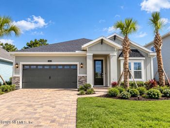
10108 Whistling Pine Ct, Jacksonville, FL 32221
MLS#: 2163361



Two homes can be equally close to the First Coast Expressway (State Road 23) yet offer very different trade-offs. One might offer a straightforward drive to a ramp and an easier route toward Jacksonville. The other might face traffic from its backyard but require several turns to reach an entrance. On a real estate listing, both could be described as “near the expressway.”
There is another distinction worth making before you compare homes in Clay and St. Johns counties: some of SR 23 is open today, while the new St. Johns River bridge and the extension to I-95 are still being built. As of October 27, 2026, here's which sections are open, how to check toll costs for your own trips, and what to consider about a property's road access, surroundings and possible resale value without assuming that proximity alone raises or lowers its price.
SR 23 runs west of Orange Park, past the Middleburg and Lake Asbury side of Clay County, then turns toward Green Cove Springs and the St. Johns River. The expressway was already open from I-10 south to U.S. 17. On June 29, 2026, FDOT opened the final Clay County section from U.S. 17 to Leonard C. Taylor Parkway, near State Road 16 and the existing Shands Bridge. Drivers coming from the existing bridge can now reach the northbound expressway via Leonard C. Taylor Parkway. That opening did not create a completed expressway across St. Johns County.
The official First Coast Expressway project map shows the whole corridor, while the June 29, 2026 toll map shows the currently operating Clay and Duval route. For the larger project purpose, see Florida's Turnpike Enterprise project overview; for the Clay opening, see Andrea Snody's June 29 report for News4JAX, which quotes an FDOT spokesperson.
On the east side of the river, the future through-route to I-95 is still a construction project. FDOT currently lists three separate pieces:
Those dates are FDOT construction estimates, not guaranteed opening dates. A driver leaving Fruit Cove can cross the existing Shands Bridge and join the open Clay expressway toward I-10 today. But that same driver cannot yet use a continuous SR 23 route through St. Johns County to I-95. If a home's appeal depends on a future interchange, weigh that convenience as a possibility, not a benefit already in place.
A house's distance from the expressway is only a starting point. Four separate questions help explain why two nearby addresses can offer different experiences. These are property considerations, not official price zones or evidence of a fixed premium or discount.
SR 23 is a limited-access road: drivers enter and leave at ramps, not wherever another street crosses it. The current corridor includes connections at Oakleaf Plantation Parkway, Old Jennings Road, Blanding Boulevard (SR 21), Henley Road, U.S. 17 and the SR 16/Leonard C. Taylor Parkway end. Check the actual ramp, its direction and the streets leading to it. Being next to the highway does not mean you can get onto it from that neighborhood.
A home can be close enough to hear traffic or see passing headlights without being particularly convenient to an entrance. Look at the backyard, screened porch, bedroom windows, roadway elevation and the land between the house and the travel lanes. An interior street and a lot facing the expressway may feel different even within the same development. No single distance from the roadway predicts how much traffic noise you'll hear at a particular home.
In Clay County, Blanding Boulevard, U.S. 17, SR 16 and CR 220 can shape the trip before or after you use the expressway. A driver headed toward I-10 may have a different experience from someone making daily stops in Orange Park or Fleming Island. Also, CR 220 in Clay County is not CR 2209, also called St. Johns Parkway, in St. Johns County. The latter is along the future eastern expressway extension, not part of today's completed Clay route.
An unfinished interchange cannot shorten today's drive just because it appears on an official route map. Construction can also affect local turning movements and access while a road is being built. A proposed shop or new neighborhood is a different question again: the interchange's existence does not establish that any particular business or development has been approved.
Suppose a home near Lake Asbury is described as convenient to SR 23. The road might offer a useful northbound option toward I-10 without necessarily improving a trip to Orange Park or Fleming Island. Before treating it as an advantage, start at the driveway rather than drawing a straight line to the highway: which open ramp serves each trip, and how many lights and turns come before it?
Try the outbound trip when you would normally leave and the return trip when you would come home. If you have a regular school or grocery stop, include it. During a permitted property visit, stand in the backyard and near the rooms or outdoor spaces you expect to use. Listen for traffic, notice visibility toward the road and check the street outside the home. A daytime visit of 15 to 30 minutes is a useful first check, not a sound study or a reliable picture of every evening, season or future traffic condition. Where possible, compare visits at different times. Construction noise may also be different from traffic noise once a roadway opens.
Ask which nearby roads are being altered, whether an entrance or traffic pattern is temporary, and what the approved roadway drawings show immediately beside the lot. If the house backs up to woods, find out who owns that land and whether any part is protected from clearing. For nearby commercial or residential proposals, look up the property's zoning and the actual application or approval rather than relying on a sales description. A seller can make the same checks before describing expressway convenience or future improvements to buyers.
The First Coast Expressway uses electronic toll collection. Its toll map identifies collection points at certain ramps and on the main roadway, so there is no single flat charge for every SR 23 trip. Cost depends on your entrance, exit, direction, vehicle axle count and whether you pay with SunPass or Toll-By-Plate. That matters when an apparently faster commute becomes an expense you repeat twice a day.
For a two-axle car, the official schedule effective June 29, 2026 lists $0.65 with SunPass or $0.92 with Toll-By-Plate at Green Cove Plaza. At Sandridge Plaza, the listed charges are $1.62 and $1.89; at Normandy Plaza, $0.22 and $0.49. Those are examples of individual toll points, not the price of a full drive. A trip may pass more than one, and the cost of the return journey should be checked separately.
Use Florida's Turnpike toll calculator to price your actual route, and check the current rate schedule before relying on those figures for later travel. Multiply the applicable outward and return tolls by the number of days you expect to use them. Also compare driving time, distance and fuel with a no-toll alternative: the cheapest toll route is not necessarily the least costly trip overall.
Without a compatible transponder, Toll-By-Plate photographs the license plate and bills the registered owner for tolls over a 30-day period, plus a $2.50 administrative fee per invoice—not $2.50 at every plaza. The Turnpike's Toll-By-Plate explanation sets out the billing arrangement. If you do not intend to pay tolls regularly, a home near SR 23 may offer little commuting advantage, even though nearby traffic and noise still matter to your decision.
What about the replacement Shands Bridge? In an October 15, 2026 First Coast News interview, FDOT Senior Project Manager Sam Landsdal said the future bridge crossing would be toll-free, with no toll structures planned on or near the bridge itself. The replacement bridge is not open yet, and this statement does not make the connecting expressway free. A trip that crosses the bridge and uses tolled SR 23 segments can still incur tolls.
A roadway that looks distant behind trees can still be audible from a patio. Another home closer on a map may have a different experience because of its orientation, terrain or intervening buildings. Road and yard elevation also affect visibility.
FDOT evaluates highway noise and potential barriers using noise impacts, sound reduction, engineering, cost and the views of affected property owners. A wall is not guaranteed merely because a home borders the road. When a barrier is planned, its height, length, continuity and position relative to the home and roadway all matter. The FDOT highway traffic noise guidance explains how those decisions are considered.
A tree line may hide the road without meaningfully reducing its sound. Federal Highway Administration guidance explains why ordinary landscaping should not be treated as a noise barrier. Trees also may be on land the homeowner does not control. For a home beside a current or future roadway, ask for the applicable project plans and property records before assuming a wooded strip, berm or wall will remain.
For a household west of Orange Park or near Middleburg, the relevant SR 23 entrance may be at Blanding Boulevard, Old Jennings Road or Henley Road. A northern commute toward I-10 is one use of the corridor; a trip east to shops on U.S. 17 or appointments in Orange Park may follow a different route altogether. CR 220 is another important Clay County road to evaluate if it lies on your regular trip, but proximity to CR 220 is not itself an expressway entrance.
Farther south, the new Clay connection brings SR 23 toward the U.S. 17 and SR 16 area near Green Cove Springs. Drivers coming from the St. Johns side still use the existing Shands Bridge. FDOT described a temporary counterclockwise traffic triangle at SR 13 and SR 16 near the bridge when the new section opened: two legs carry one-way traffic, while SR 13 remains two-way. The pattern is expected to stay in place during replacement-bridge construction, so test this approach if you would cross the river frequently. The eventual bridge and St. Johns roadway could change your travel options again; neither is open yet.
Take the route you would drive on a normal weekday, including the intersections near your neighborhood entrance, and compare it with your practical alternative. The June opening created another option; it does not prove that Blanding Boulevard, U.S. 17 or every feeder road now runs faster. Clay County road projects and St. Johns County's current projects help distinguish local roadwork from SR 23 construction. In St. Johns County, CR 2209/St. Johns Parkway is a separate local road with its own improvement work; the future expressway connection there is not an open through-route today.
If you are still weighing a move between counties, the broader Jacksonville, Clay County and St. Johns County comparison puts commuting alongside other ownership and location considerations. The expressway is only one piece of that decision.
An interchange or new road can change how drivers approach an area, but it does not automatically mean a grocery store will arrive or nearby homes will become more valuable. A property may be designated for one general future use, zoned for a narrower set of uses, or subject to an application that has not yet been approved. Those are not the same as an issued permit or a finished building.
For a home backing up to a road project, separate temporary construction effects from longer-term roadway design. For nearby vacant land, find out what is allowed and what decisions have actually been made. Even an approved development does not tell you its precise opening date or the effect on your street.
For a new home near active work, the house itself deserves a separate set of checks. This Northeast Florida new-construction guide covers inspections, unfinished items and warranty questions; it does not replace checking the nearby roadway plans.
It can influence what a particular home offers and what buyers are willing to consider. Someone who regularly travels north from Green Cove Springs may appreciate the newly open Clay route. Someone who spends evenings on a porch facing the highway may care more about traffic sound. Neither reaction establishes a standard SR 23 premium or discount, and proximity by itself does not provide a defensible price adjustment.
Useful access means a ramp you can reach in the necessary direction, a reasonable drive from the neighborhood and a route that goes toward places you visit. A seller can describe that actual connection, while a buyer can test whether its convenience outweighs the tolls, approach-road traffic or exposure at the house.
When a buyer is deciding what to offer or a seller is choosing an asking price, compare homes that have actually sold, with attention to sale date, home characteristics, land, roadway exposure and access. Fannie Mae's comparable-sales guidance asks appraisers to use relevant competitive properties and consider external location influences. Its adjustment guidance requires market support, not a rule-of-thumb percentage for living near a highway. Those are appraisal standards, not a study establishing SR 23 price effects.
Recent construction and the June 2026 road opening make timing especially important. A sale before an interchange opened may reflect different access than a sale afterward, but a difference between two sale prices still does not prove the road caused it. Asking prices, a map screenshot and an unbuilt extension cannot settle a home's market value. An agent or appraiser can help evaluate genuinely comparable closed sales for the property in question.
For a specific address, start by confirming the ramps and roads you can use now. Then work out the toll cost of your regular trips, visit the property under relevant conditions, check official plans for nearby work and compare completed sales if value is part of your decision. A good highway connection may be useful without justifying a price premium; living near construction or traffic may require closer inspection without automatically making a home a poor purchase.
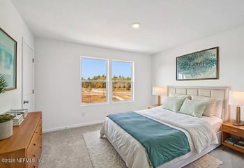
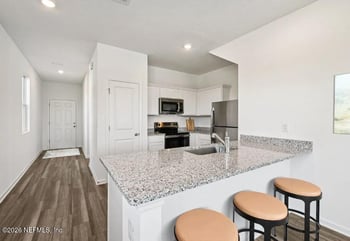
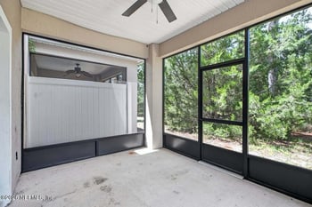
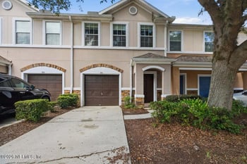
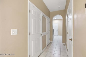
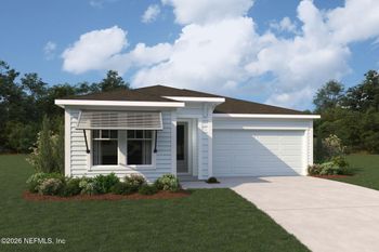
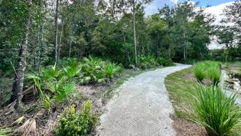
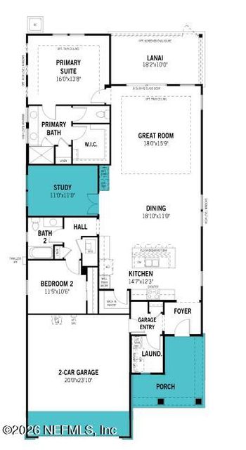
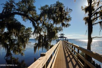
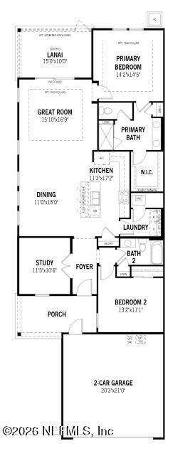
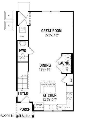
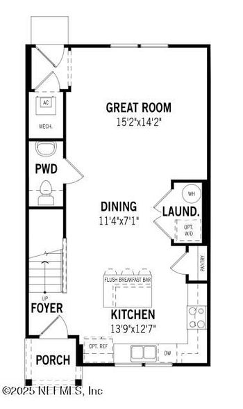
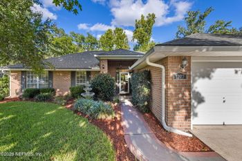
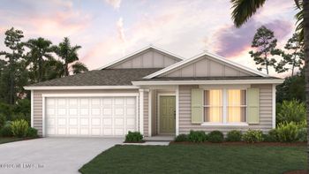
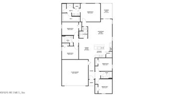
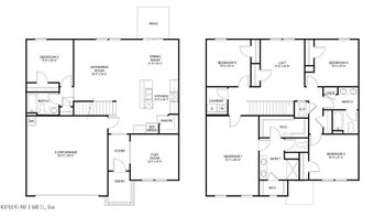
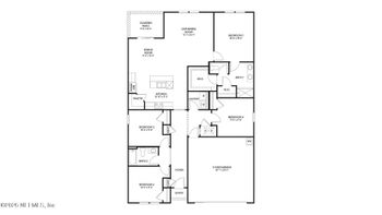
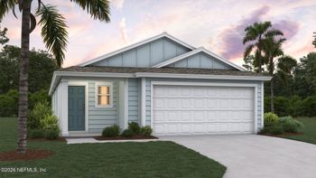
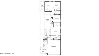
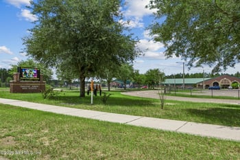
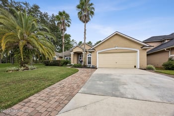
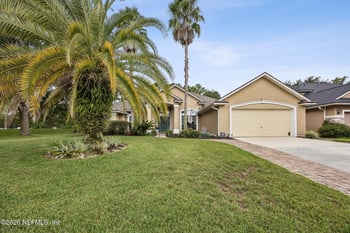
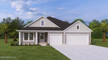
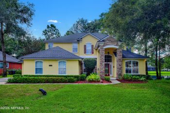
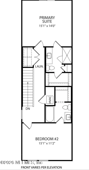
The homes for sale below come from a broad map-based search around the First Coast Expressway through parts of Duval, Clay and St. Johns counties. The search can include active listings as well as pending and coming-soon homes; availability and status can change. Inclusion does not mean a property fronts SR 23, has convenient ramp access, is sheltered from road noise or belongs to a price-benefit area. Use each listing's location and details as a starting point, then make the address-specific checks above before drawing a conclusion.






























These answers address the most important differences between being near SR 23, using it, and knowing what it means for one property.
No. Convenient access can be useful, while noise, exposure or an awkward route to the ramps may create drawbacks. Neither establishes a fixed price change. For an offer or asking-price decision, compare relevant completed sales and their differences in location, timing and property features. Fannie Mae's comparable-sales guidance addresses external influences but does not establish an SR 23 premium.
There is no universal distance. The roadway's height, the home's orientation, intervening buildings or land, and where the patio and bedrooms face all matter. Listen and check visibility from the areas you would use, ideally at more than one time. A short visit tells you about conditions during that visit, not all future traffic or a measured sound level.
Do not assume either. FDOT evaluates potential noise barriers against engineering, sound-reduction and other criteria; a wall is not guaranteed simply because a home borders SR 23. Ordinary tree lines may block a view but provide little sound reduction, and trees on adjoining land may not be protected. Check FDOT's noise guidance, the applicable project plans and the property records for the specific location.
SR 23 is a tolled road, but your charge depends on the toll points passed, the direction of travel, vehicle axles and payment method. The June 29, 2026 schedule lists $0.65 with SunPass or $0.92 with Toll-By-Plate at Green Cove Plaza for a two-axle car; that is not the full-trip price. In an October 15, 2026 interview, an FDOT senior project manager said the replacement bridge crossing would be toll-free, while connecting expressway sections are tolled or planned as toll roads. The new bridge is still being built. If you avoid toll roads, SR 23 may offer little routine benefit while nearby roadway effects still matter.
That depends on the destination. Clay County drivers may use Blanding Boulevard (SR 21), U.S. 17, SR 16, CR 220 or an interchange on the open expressway. From St. Johns County, travel across the existing Shands Bridge can connect to the Clay route, but the new expressway link to I-95 is unfinished. CR 220 in Clay County and CR 2209/St. Johns Parkway in St. Johns County are different roads. Check the actual ramp and drive both directions before assuming a commute improvement.
It is possible where neighborhood streets provide a practical connection to a ramp, but the road's presence does not prove a particular street will get cut-through traffic. Look at the entrances and internal street layout, observe traffic when residents would normally arrive or leave, and check local road plans. Do not treat a multiple-entrance development as automatically affected.
Use the regional project map to understand the corridor and the current toll map to check operating connections and toll points. Locate the house on a detailed street map, confirm which ramps and travel directions are usable, and drive the full route at the times you would normally travel. During permitted visits, listen from the backyard, check sightlines and headlights where possible, and observe nearby streets. Distinguish temporary construction noise and detours from the final roadway design, and verify any proposed wall or buffer in official plans. One visit will not answer every condition.
For Clay County, start with land-use and zoning maps and Planning and Zoning. For unincorporated St. Johns County, use Land Use Permitting and the Development Tracker. Check road construction on county project pages and use FDOT's expressway project index to find the relevant corridor section. A map designation or pending application is not proof of approval, construction or an opening date.
Look for a home with a usable route to the right interchange and an outdoor living area that is not directly exposed to the roadway. An interior street may have different noise and traffic conditions from a home along the edge of the same neighborhood. Verify the driveway-to-ramp drive, lot orientation, nearby land ownership and any proposed roadway changes. These are useful comparisons, not guarantees about future comfort or resale price.