New - 2 Days Ago


$674,000
Active
3
Beds
2
Baths
1428
Sqft
0.2531
Acres
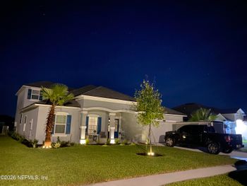
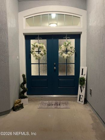
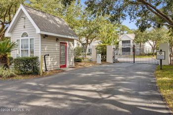
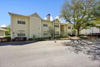
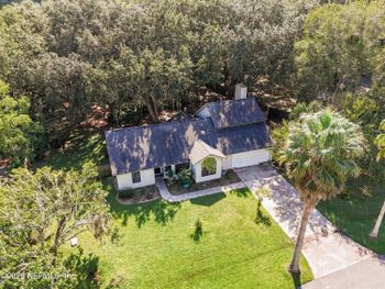
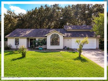
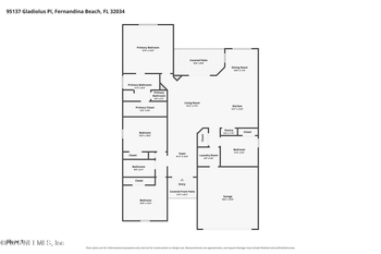
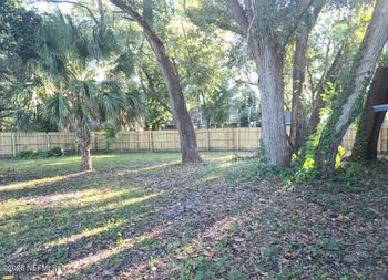
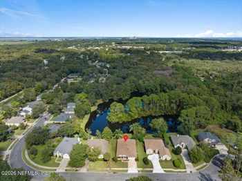
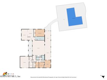
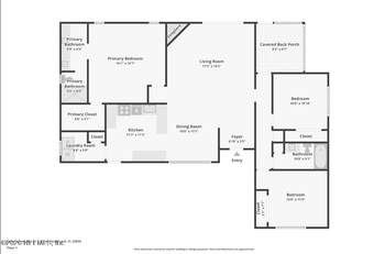
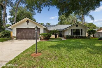
4937 Windward Pl, Fernandina Beach, FL 32034
MLS#: 2170837


A home described as “near Egans Creek Greenway” might put a marsh walk within easy reach—or leave you with a drive, a street crossing, and a different trail experience than you pictured. Before treating Greenway access as a reason to choose a neighborhood, find the public entrance you would actually use.
This guide follows that everyday decision: where to enter, where the City directs visitors to park, what the grass trails and wetland scenery are like, and what to test from a prospective address. You can browse Fernandina Beach homes for sale with a particular trailhead in mind rather than assuming every creek-side location offers the same access.
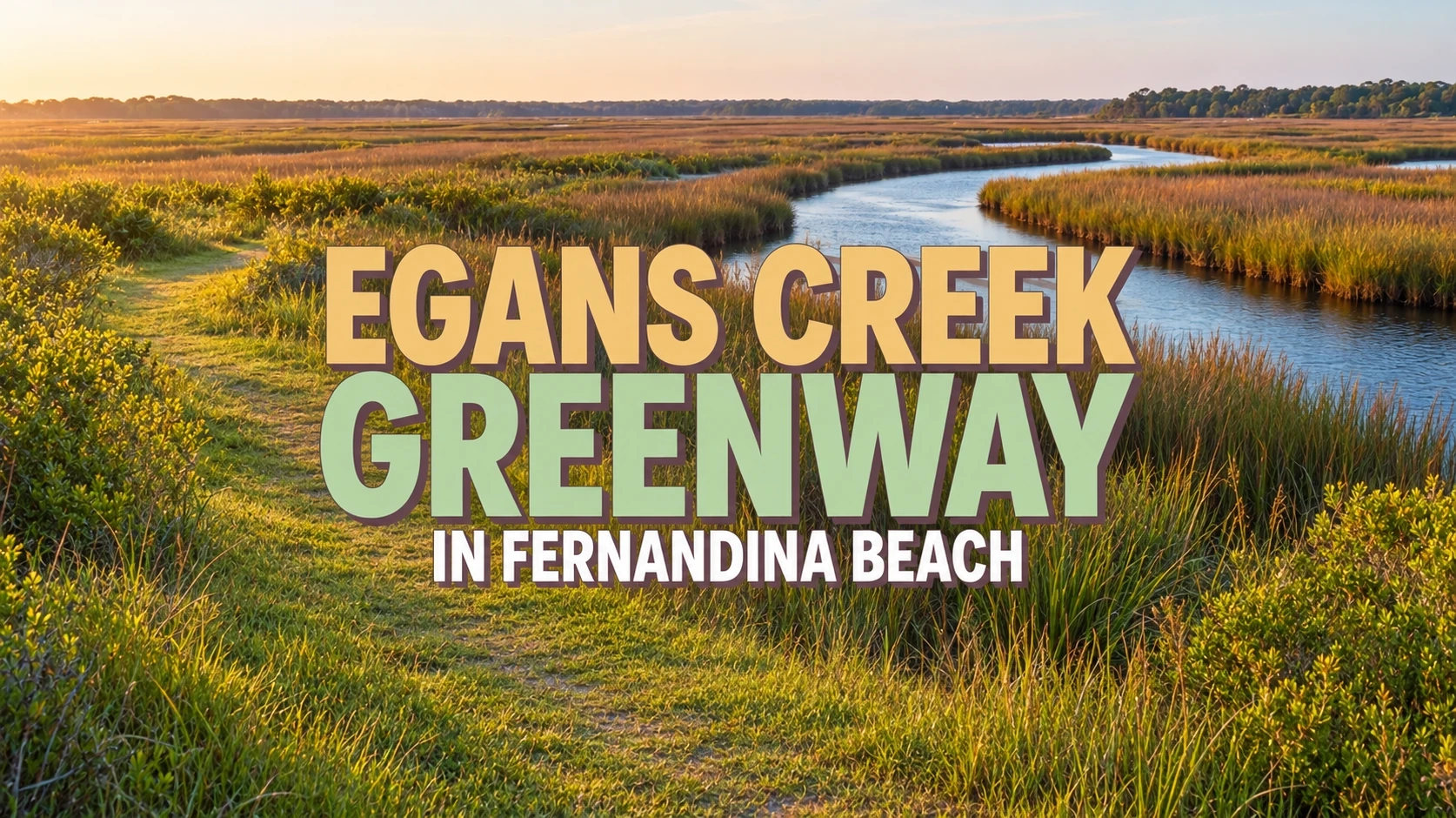
The City describes Ron Sapp Egans Creek Greenway as a protected corridor of more than 300 acres along Egans Creek, opened for passive recreation in 2000. Its grass-covered roads create a network for walking and bicycling, not a single paved path. Which entrance you choose changes the landscape you encounter. The state birding-trail profile lists the Greenway as free to enter.
North of Jasmine Street, toward Atlantic Avenue, the City’s trail map shows saltmarsh and maritime forest, creek bridges at the Beech and Hickory Street extensions, and a viewing platform. South of Jasmine toward Sadler Road, the setting shifts to more wooded freshwater habitat, with a raised boardwalk at the Sadler end. These landscapes offer different reasons to visit: open marsh views to the north, more wooded freshwater scenery to the south.
Jasmine Street divides the mapped sections. A route joining north and south has to account for a public-street crossing; the map does not make it an uninterrupted off-road walk. Decide which side suits your routine, then check the crossing and trail signs in person.
For entrance locations and current instructions, use the City of Fernandina Beach’s Greenway page. The linked trail map is dated 2016, so use it for orientation and follow current trailhead signs or closures rather than assuming every mapped segment is passable.
The City lists four access areas. A trailhead may put you near a restroom, a marsh-viewing stop, or the southern woods; the approach from surrounding streets determines whether that choice is convenient.
Enter behind the Atlantic Recreation Center at 2500 Atlantic Avenue. The City lists parking at the recreation center and restrooms at the Nature Pavilion by this entrance. For a visit with children, the City lists nearby Pirate Playground as an accessible community playground. That playground is separate from the natural Greenway trails. Camp Amelia Playground, also at 2500 Atlantic Avenue, restricts public access during youth-camp hours; do not assume the nearby playgrounds have identical access.
The City identifies two Jasmine Street entrances between Citrona Drive and Fletcher Avenue. This is the dividing street between the saltmarsh-oriented north and wooded south. If you are considering a nearby home, check which entrance you can reach and the street crossing involved before planning a walk that uses both sections.
The City lists access from Citrona Drive via the Beech Street and Hickory Street extensions. The mapped creek bridges give these northern routes recognizable landmarks and possible turnaround points, subject to signs and any closure. These are listed entrances, but the City does not list a dedicated public parking area at either extension.
The south entrance is behind the Residence Inn at 2301 Sadler Road, where the City also directs visitors to park. A raised boardwalk marks this end of the trail network, near its more forested freshwater setting. For a shorter visit, you can plan an out-and-back from here, choosing when to turn around based on the grass conditions and daylight left rather than a fixed circuit.
The City’s three parking locations
The City names these parking arrangements for public Greenway visits. An access point shown on the map does not necessarily have its own visitor lot:
These are places the City directs visitors to park, not a prediction of where a space will be available when you arrive. If you would drive to the Greenway, notice the turn-in, posted limits, and distance from legal parking to the actual trail. That approach may matter as much as the route itself when you are deciding whether to return regularly.
One nearby name is easy to confuse with the trail: Egans Creek Park at 2201 Atlantic Avenue is a separate park with its own quarter-mile fitness trail, parking, and kayak launch. Those are park amenities, not facilities along the Greenway trails.
A map shows the route, but it cannot tell you how firm the ground will feel beneath your shoes or wheels on the day you go.
Most walking and riding follows the City’s grass-covered roads. Bridges in the north and the boardwalk near Sadler Road cover particular stretches, not the trail network end to end. After rain, natural ground may feel uneven or soft; that matters for secure footing, stroller wheels, mobility equipment, and bicycle traction. Try the stretch you intend to use rather than judging its surface from the mapped distance.
For marsh views, the map shows a northern viewing platform and creek bridges at the Beech and Hickory Street extensions. South of Jasmine, the City’s brochure describes a wooded freshwater area with interconnected ditches and Egans Creek along its eastern edge. The amount of tree cover changes along the way, so a warmer-weather walk may favor a different stretch than a trip focused on open views.
The Great Florida Birding and Wildlife Trail profile identifies the Greenway as a birding site and highlights fall through spring. Water edges, birds, and changing vegetation are part of the appeal, but no particular sighting is assured. The City cautions visitors about alligators, snakes, and biting or stinging insects: stay on the trail, leave wildlife undisturbed, and keep pets from chasing animals.
The state birding-trail profile describes four miles of interconnecting walking and biking loops. That is the network, not a required four-mile walk from any entrance. For a shorter visit, choose a mapped section, walk out as far as your schedule and conditions allow, then return; for a longer one, check the actual trail connections and any road crossing first.
The City map marks an accessible approach to the northern viewing platform, not accessible travel throughout the grass trails, creek bridges, or Sadler boardwalk. As of October 27, 2026, the City reports that its ADA van is unavailable. If your plans depend on accessibility or mobility assistance, use the City’s Greenway page to check the current contact and options for your particular route before visiting.
The same shared trail can support very different outings. What matters is whether its rules, pace, and stopping points fit the way you like to spend time outdoors.
Two houses can look equally close to Egans Creek on a listing map yet have very different starting points. One might have a comfortable public route to the Atlantic Recreation Center entrance. Another might overlook the creek but require a detour to reach an official trailhead without crossing private land. On a weekday, the approach can make the difference between taking that walk and deciding it is too much trouble.
The time of day matters, too. The Greenway is open sunrise to sundown, so an after-work walk that fits a summer evening may not fit a winter one. For a family, restrooms and Pirate Playground near the Atlantic Avenue entrance could outweigh a shorter approach elsewhere. Compare those choices with your downtown, beach, and commute priorities in Living in Fernandina Beach, FL: Centre Street, Beaches, and Jacksonville Commutes.
Give your preferred entrance the same attention you would give a commute route. A visit from the address you are considering can answer questions a neighborhood map cannot.
Being near the Greenway, or even beside its wetlands, does not establish a particular home’s flood zone, lender requirements, insurance cost, or eligibility for coverage. Check the specific address and structure, then confirm financing and policy terms with the relevant professionals:
The Greenway is one piece of a move, alongside housing needs, day-to-day services, and getting to work or school. For the wider set of questions worth considering before you choose a home, see Moving to Northeast Florida: What to Know Before You Buy.
If a public entrance is easy to reach when you have free time, the surface suits your household, and you enjoy the scenery, nearby Greenway access may deserve weight in your home search. If reaching it requires an awkward crossing or a drive you are unlikely to make, the same green space may be a pleasant bonus rather than a daily amenity.
For your home search, start with Fernandina Beach homes for sale and use the community list to identify areas worth visiting. Neither page establishes actual trail access from an individual property.
Below is a first selection of up to 22 homes listed under the Fernandina Beach location label. They may include Active, Pending, and Coming Soon listings, so check the current status of any home you like. The location label does not establish whether an address is inside the City of Fernandina Beach’s official boundaries, and these homes are not selected by distance to the Greenway. For a fuller selection of active homes, browse Fernandina Beach homes for sale. Check the actual route from an individual property to a public trail entrance before counting on Greenway access.