New - 1 Hour Ago


TL;DR
Living in Orange Park, FL can mean an address inside the Town of Orange Park, a surrounding area with an Orange Park mailing label, or a planned community such as Oakleaf. Near Blanding Boulevard and Wells Road, the useful question is how you reach your actual stops, not how close a store looks on a map. Near Kingsley Avenue and the river, public parks and private waterfront rights are different things. In Oakleaf, recreation facilities come with rules and property-specific district and association obligations. Start with the home's jurisdiction, then compare your work route, school assignment and transportation, recurring costs, and flood and insurance questions.
Two homes can be advertised as Orange Park and give you different ways to spend an ordinary Wednesday. One might send you toward Blanding Boulevard for errands. Another might put Park Avenue and Kingsley Avenue on your regular route. A home marketed in Oakleaf raises a different set of questions about recreation facilities and ownership charges. Those are useful comparisons, but they are not three fixed neighborhoods, and they do not all share one ZIP code or one municipal government.
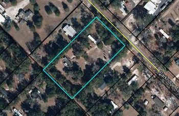
The incorporated Town of Orange Park publishes its boundaries and street-address ranges. An Orange Park mailing address can fall outside those limits. Oakleaf Plantation is also identified as a Clay County census-designated place, while listings can use the broader Oakleaf name near the Clay–Duval line. Neither the listing city nor a familiar street name tells you by itself which government, school district, or community rules apply. Start with the parcel's county and municipal location.
The roads make that distinction tangible. Park Avenue is U.S. 17 in town and continues north as Roosevelt Boulevard. Kingsley Avenue is State Road 224; Blanding Boulevard is State Road 21. Wells Road links Blanding and U.S. 17. A home's driveway, the side of a divided road it reaches, and the trip back can matter as much as which corridor is nearest. You can browse homes listed in the Orange Park area, but use each property's location and records to determine what the address actually includes.
Blanding is useful because so many ordinary errands can be planned along a major commercial road. It's also a road you may need to enter, cross, or leave during a busy part of the day. Living close to it is not automatically a shorter trip.
The Orange Park Mall area near Blanding and Wells brings shops and services into a recognizable cluster. Wells Road connects Blanding with Park Avenue/U.S. 17, so it's worth comparing approaches from both corridors. Groceries, a pharmacy and a mall stop may still call for separate entrances and turns, even when all three look close together on a map.
Imagine two possible after-work routes. In one, a pickup and a shop are on the same side of Blanding, and the return trip leads naturally toward home. In the other, the store looks closer in miles but requires a different entrance, a permitted turn farther along the road, or a return through another intersection. Put your own school or care stop and store entrance on the map; the closest pin may not make the easiest errand.
The Florida Department of Transportation identified peak-hour congestion at Blanding and Wells and designed changes to the intersection, including planned closure of median openings in front of Taco Bell and the Orange Park Mall entrance. Those access changes could alter the approach to a nearby stop or the way home, even when the destination stays close in miles. FDOT's Blanding Boulevard project extends from south of Wells Road toward the Ortega River; it lists an August 2025 start and completion expected in fall 2026. That forecast does not confirm which turns are open now or whether travel times have improved.
For a house reached from a side street, the important question may be whether you can make the turn you need, in both directions, at the hour you need it. Road access can change during construction. Before choosing an address because it's close to shopping, check the current approach rather than assuming old directions or a weekend drive will describe a weekday.
Test a Blanding-area address against your stops
Trace the trip from home to the real store or appointment entrance, then the return. Include the pickup location if one is part of your day. Check current restrictions and conditions with Florida 511; a route that works on one visit is a useful sample, not a guaranteed travel time.
If you're also considering homes farther south, the Fleming Island versus Orange Park route and school comparison helps frame a different set of approaches rather than promising that either place always wins on time.
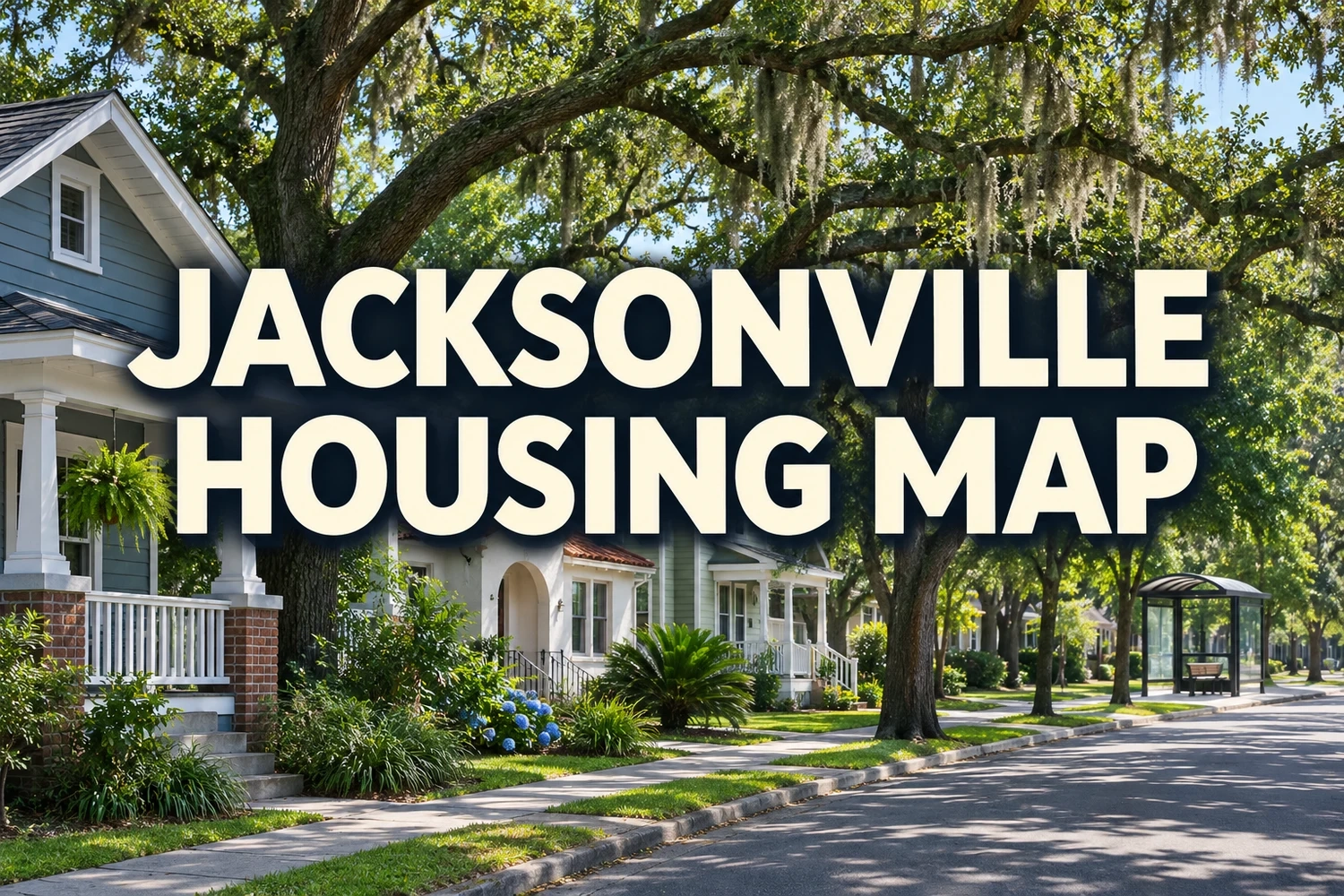
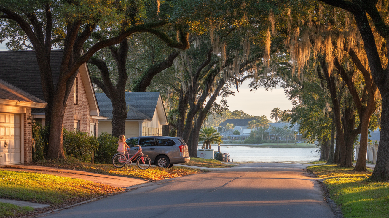
Step away from a commercial corridor and the local details can change: large oaks, older residential streets, a Town park, or, for some properties, proximity to the St. Johns River. The cover image evokes a shaded road, houses, a person with a bicycle and water in the distance. The place and waterbody are unidentified; for an actual home, the view, private water access and permitted cycling routes need separate confirmation.
At 1039 Kingsley Avenue, Clarke House Park offers a playground, nature trails, gardens, a lake, pavilions and broad oak shade around the historic Clarke House. Its lake and playground offer a different kind of afternoon from the St. Johns River view at Kingsley East River Overlook farther east on Kingsley Avenue. If boating is the plan, find a suitable authorized launch separately. Before planning a reserved gathering, check the Town's current pavilion arrangements.
Town Hall Park, at 2042 Park Avenue, has an inclusive playground, picnic facilities, restrooms and a band stage. Town events add another possible use, on their actual scheduled dates. These are concrete amenities to weigh against your trip from the home, rather than a promise that every street is within a comfortable walk of a park.
For a St. Johns River view, the Town identifies Kingsley East River Overlook at the far east end of Kingsley Avenue. It's a small public-right-of-way park overlooking the river, with an adjoining River Road walk and parking described along Kingsley. That gives you a specific place to see the water without implying a dock, boat launch, swimming access or private rights at a nearby house.
A home with a river view, a legally usable dock, boat-trailer parking and navigable water access offers four different propositions. Any one may exist without the others. Likewise, seeing a golf cart or bicycle on a residential street would not establish that a particular public road, crossing or route permits the use you have in mind. Ask about recorded access, permits, restrictions and the property's physical conditions. As for errands, test the road back to groceries and appointments; a river-oriented address is not automatically remote from them.
Waterfront character and flood exposure are separate decisions
Look up the actual parcel on the FEMA Flood Map Service Center, then distinguish the effective map from Clay County’s proposed changes where relevant. Even Zone X does not mean zero flood risk, and inland properties can flood. Check county evacuation guidance separately, review drainage and water history during property diligence, and obtain appropriate insurer and lender guidance. Standard homeowners policies generally exclude flood loss; private flood coverage can be standalone or an endorsement. Florida's insurance regulator explains the options.
The distinction also matters when comparing Orange Park to another river-oriented area. The Julington Creek and Orange Park daily-life comparison is useful for weighing actual locations and connections, not for assuming identical waterfront access or neighborhood conditions.
Oakleaf introduces a different decision. The attraction isn't just that a pool or court appears on a neighborhood map. It's whether the people living at the address can use those facilities at the times and in the ways that matter to them, and what the home costs to own alongside that access.
Oakleaf's association FAQ distinguishes Double Branch Community Development District (CDD) on the east/Phase 1 side and Middle Village CDD on the west/Phase 2 side, with State Road 23 as a useful orientation point. Their boundaries, governing boards, budgets and policies are separate, and separate property owners associations (POAs) handle private community rules. An Oakleaf marketing label alone doesn't establish the district for an individual parcel.
Both districts have common recreation facilities such as pools, playgrounds, fitness areas and courts. They also describe reciprocity that permits residents to use facilities across district lines under the applicable rules. That could make an after-school swim or weekend court visit convenient for a household that will actually use it. It doesn't guarantee a class opening, an unrestricted pool schedule, access for every tenant, or that a particular facility is a short walk from a particular home. The Double Branch and Middle Village district sites publish amenity policies and budgets; check the applicable current access-card and facility rules before treating an amenity as part of your weekly plan.
A CDD is a public local-government district that can pay for community infrastructure and maintain shared facilities. A POA or homeowners association is a separate private organization with its own dues and covenants. CDD assessments may include debt service on applicable bonds and continuing operations and maintenance (O&M). Paying off a home's relevant bond portion does not eliminate ongoing O&M or private-association dues. Nor can you assume a single neighborhood's published bond schedule states the exact charge on every home.
The cost isn't the only obligation. The Oakleaf East POA's FAQ, for example, describes approval requirements for fences and other exterior changes, plus restrictions on parking and boat or trailer storage. A West-side or other Oakleaf property may be governed by different documents. If you want to keep a boat, park an extra vehicle or renovate, read the rules for that parcel before counting on the driveway or backyard. The Northeast Florida CDD fees guide explains the separate district debt, maintenance charges and private dues.
For an Oakleaf home, request separate answers
District: Which CDD covers this parcel, what are its current assessments, what portion is debt versus O&M, and is a payoff available?
Private association: What dues, restrictions and approvals apply, and are there unpaid balances or open, noticed violations? For Oakleaf East, an estoppel is an association-status document used in a sale to identify balances and such violations, not a CDD bond payoff. Ask the association governing this home for its applicable documents.
Facilities: What do the current resident or tenant eligibility rules, cards, reservations and schedules permit? Confirm the answers in district and association documents, not just a listing description.
Compare the resulting total with your financing, buyer-estimated property taxes, appropriate home and flood insurance, utilities and maintenance reserve. Assessments may appear on tax bills or be collected through applicable arrangements; they are not inherently a separate monthly invoice. A seller's tax exemptions and bill are not your future tax bill, and costs already included in a lender's escrow estimate should not be counted twice. The Consumer Financial Protection Bureau's escrow explanation helps with that last distinction. Neither a broad affordability reputation nor an asking price answers the ownership-cost question.
A map labeled simply “Jacksonville” hides the most important variable: the destination. Someone traveling to Naval Air Station Jacksonville has a different set of approaches from someone working near Baymeadows or St. Johns Town Center. School and care stops may change the trip again. There is no useful blanket rule that Oakleaf always takes longer or that every northbound trip needs a river bridge.
Naval Air Station Jacksonville (NAS Jacksonville) is on the west side of the St. Johns River. From the Orange Park area, U.S. 17/Park Avenue and Roosevelt Boulevard are relevant approaches, and a trip to the installation does not inherently cross the river. The authorized gate, its operating conditions and the distance to the actual work site still count; the base address isn't the end of the commute.
Riverside and Downtown Jacksonville's Northbank are also west-bank destinations. Roosevelt Boulevard, local streets and the applicable I-10 connection may serve those trips without using Buckman Bridge. FDOT identifies I-295 exit 10 at U.S. 17/Roosevelt/Park Avenue and exit 12 at Blanding/SR 21/Collins Road. These are connections to compare, not evidence that one origin always wins. An Oakleaf-area route may also use State Road 23 and I-10 where appropriate.
Downtown's Southbank sits across the St. Johns River from the Northbank; the city's Main Street Bridge is one connection between them. For Southside destinations such as Baymeadows or the Jacksonville St. Johns Town Center, a driver may instead use I-295 and Buckman Bridge, followed by another exit and local approach. That St. Johns Town Center is a Jacksonville destination, not Town Center Boulevard in Fleming Island. Work address and final entrance matter more than the word “downtown” or “Southside” in a casual description.
Consider a household with one workplace at NAS Jacksonville and another near Baymeadows. They are not making one shared “Jacksonville commute,” even if both start at the same driveway. A route that suits the base trip may create a different burden for the east-side trip, especially with a pickup in between. That is why an address-to-address comparison can be more useful than ranking whole communities.
Measure the trip you would actually repeat
Check the departure and return periods that apply to your work, the school or care stop if relevant, and the final gate or building entrance. Try the plausible routes and check Florida 511 for current incidents and construction. One test tells you how that particular trip worked, not how every future workday will go.
For more context, use the Fleming Island daily-life guide to compare where errands, school trips and recreation would fall in another household map. It complements the route-specific comparison above without implying fixed commute minutes.
“Good for families” depends on what your week asks of you. A playground near a school pickup route might get used often; a community pool across a development might not. School assignments, bus eligibility, walking connections and amenity rules all need answers tied to the particular home. The label alone doesn't settle them.
For a home in Clay County, start with Clay County District Schools' Find Your School Zone. It points to the district-endorsed address lookup and boundary information. Check the exact residence, child's grade and intended school year; a neighborhood's name, a nearby campus or a listing remark is not an assignment or admission guarantee. If the parcel is in Duval County, use Duval County Public Schools' separate school locator.
An assigned school still doesn't settle the morning. Clay's transportation information separates bus eligibility, registration, stops, routes and times from the school assignment itself. Clay's optional controlled open enrollment has separate application and capacity rules, with transportation the responsibility of the parent or legal guardian under that option. Other school programs may have different requirements. Before building a routine around an address, establish how the child would actually get to and from school.
Three distinct school questions
Which school is assigned for this address, grade and year? Is the student eligible for a bus, and where and when is the actual stop? If you're considering a school-choice placement, what admission and transportation conditions apply? Answering the first question doesn't answer the other two.
A nearby playground, a usable path to a friend's house and a community pool can make a week easier, but they do different jobs. Some households will value a Town Hall Park outing or an established street near Kingsley Avenue. Others may regularly use Oakleaf's facilities. A household that wants to walk or cycle to shops should inspect continuous sidewalks, crossings and permitted routes from the actual home; suburban design doesn't make every trip impossible on foot, and a pretty residential road doesn't prove the route is safe.
There is no one school, safety or lifestyle ranking that settles these choices for everyone. Someone prioritizing frequent walkable dining may prefer a different part of the region, while another household may put a larger yard or recreation facility first. The Jacksonville neighborhoods daily-life guide provides a wider destination comparison. If you're considering a Jacksonville/Duval option, the Bartram Park guide addresses its distinct roads, schools and shopping patterns rather than treating it as another Clay County address.
Compare addresses by the everyday trips and property rules, not by a broad lifestyle label. A listing near Blanding may offer a convenient return route to essential errands, or awkward turning movements. A town-area address could place a favorite public park nearby, without giving you private water access. An Oakleaf home may put recreation within reach while adding CDD assessments and POA rules. Those advantages and obligations belong to individual homes, not everyone who uses the same place name.
Put two realistic addresses side by side. For each, trace work and school or care trips, the stores you use, and a place you'd visit in your time off. Then look at the home itself: garage or storage space, whether it falls inside Town limits, whether its occupants qualify to use the amenities they want, and the recurring costs of ownership. The comparison may reveal a better fit in the routes and obligations than in the listing photographs.
Five address-level checks
A turn from Wells Road, a walk at Kingsley East River Overlook, a pool-access card and a gate at NAS Jacksonville are small details until they're part of the same weekly schedule. The more clearly you can connect those details to a particular home, the more useful “living in Orange Park” becomes as a decision.