

You might have time for a short walk after work but save the historic fort for visiting family. Both are possible at Fort Clinch State Park, yet they start in different parts of the park. On northern Amelia Island, the ocean beach, freshwater-pond trails and fort by the inlet are not stops on one continuous beachfront stroll.
That difference matters when you are deciding where to live near Fernandina Beach. A beach trip means carrying gear over a boardwalk; a trail walk may mean parking at Willow Pond; a guest visit may involve a second drive inside the park and a separate ticket. Here is how to choose the outing you would actually use, not just the one that looks appealing on a map.
Fort Clinch at a glance
- Park: 8 a.m. to sunset daily under published regular hours; the fort and visitor center close earlier.
- Entry: $6 per vehicle with 2–8 people, $4 for one occupant or $2 for pedestrians and bicyclists; other $2 categories apply. The fort costs extra.
- Ocean beach: park by the Atlantic beach boardwalks, carry your gear and use the designated swimming area south of the jetty; no lifeguards.
- Trails: Willow Pond has short loops; the roughly six-mile off-road bicycle route is intermediate and one-way for riders.
- Before a fort-centered visit: check current park notices and staff guidance, not just the regular operating-hours listing.
One park, several destinations: start at Atlantic Avenue
The main entrance is at 2601 Atlantic Avenue, Fernandina Beach, FL 32034. Fort Clinch covers about 1,400 acres at the north end of Amelia Island. Beyond the gate, the park road travels through maritime forest toward the northern fort and visitor center, while a separate turn leads to the Atlantic beach parking and boardwalks. Willow Pond has its own parking along the road. For context beyond the park, see living in Fernandina Beach: downtown, beaches and commutes.
The visitor center is approximately three miles inside the entrance; the park also describes 3.3 miles of paved road for cycling. Neither figure is the drive from a particular house. The official park map shows the forks and parking areas. Check current signs and open routes: if the beach, Willow Pond and fort are all on your list, expect to move the car rather than leave it in one lot.
When can you go, and what will it cost?
Florida State Parks lists the park as open 8 a.m. to sunset, the fort from 9 a.m. to 5 p.m. and the visitor center and museum from 9 a.m. to 4:30 p.m. The ranger station has a separate posted schedule of 10:30 a.m. to 5:30 p.m.; it is not the park opening time. Check the official hours and fees for current posted terms.
- Park entry: $6 for a vehicle carrying two to eight people; $4 for a single-occupant vehicle; $2 for pedestrians, cyclists, extra passengers and passengers riding with an Annual Individual Entrance Pass holder.
- Fort tickets: another $2.50 per person, purchased at the visitor center; children under six enter the fort free. Museum admission is included with the park entrance fee.
- Plan around actual access: the published schedule does not confirm that every fort room, program or facility is accessible on a given day. Check current park notices and contact details before a visit that depends on the fort interior or a special accommodation.
Choose the parking area for the outing
- Swim or spend time on the Atlantic beach: take the signed turn to the ocean-beach parking and two boardwalks, south of the jetty.
- Explore the fort or inlet: continue north to fort/visitor-center parking. The east and west inlet parking areas are reached through this area; the inlet shoreline is not the designated swimming beach.
- Walk at Willow Pond: use its trailhead parking along the park drive. The six-mile multi-use route instead begins near fort parking; the two are not the same trail.
Before inviting visitors to “meet at Fort Clinch,” tell them which lot you mean. The Atlantic swimming beach and the fort-side inlet are different stops, even though both are in the same park.
The ocean beach is for swimming; the inlet is for exploring
The park describes about three-quarters of a mile of Atlantic beach south of the jetty for swimming, surfing, sunbathing and surf fishing. That is the area to choose if getting in the water is your goal. There are no lifeguards. Read the warning flags at the welcome station and Atlantic beach boardwalk, and judge conditions even within the designated area. The park’s beach and swimming guidance sets out the distinction.
North of the jetty and along the shoreline near the historic fort, the draw is different: fishing, shelling, looking for shark teeth and watching the water. Swimming outside the designated Atlantic area is prohibited because of dangerous currents and steep underwater slopes or drop-offs. This is a shoreline to explore, not a place to take a dip; visitors who want to swim need the Atlantic beach south of the jetty.
What the Atlantic beach boardwalks provide
Both Atlantic beach boardwalks have restrooms, changing rooms and outdoor rinse-off showers. You park in the designated lot and walk your towels, chairs or cooler to the sand; a beach visit here is not a drive-to-the-water setup. Those facilities make changing after a swim easier, but they are not promised beside every inlet access or stretch of shore.
Wind, tides and what a beach walk really involves
- Wind: an exposed shoreline can make a mild day feel cooler than a sheltered trail. Bring a layer if the breeze matters to you; check actual conditions.
- Tides: lower tides expose more beach for shelling, while the available walking space changes with the water. Leave wildlife and occupied shells undisturbed.
- Timing: the beach plan still depends on parking and conditions that day. Leave room to change plans, especially with visiting family or a cooler to carry; no particular hour guarantees a quiet shoreline.
Bringing a dog changes the plan
Well-behaved dogs are welcome on nature and hiking trails, along the park drive and in camping areas. Keep them on a leash no longer than six feet and do not leave them unattended. Dogs cannot go onto the beach or boardwalks or inside buildings, including the fort; service animals are welcome in all areas. An after-work walk can include your dog, but a beach visit or indoor fort tour takes a different plan. Review the park’s posted pet rules before going.
Can you drive onto the beach at Fort Clinch?
Plan to park and walk over the boardwalk at Fort Clinch. If you regularly bring several chairs, an umbrella and a full cooler, the carry is part of your real-world comparison with other Amelia Island beach access points.
Nassau County beachfront rules address motorized access at certain unincorporated Atlantic beaches, with separate eligibility, location, vehicle and seasonal-hour requirements under the county’s 2025 revisions. They do not grant permission to drive onto Fort Clinch’s state-park beach. Check the rules for the exact beach you intend to use; do not treat the island as having one beach-driving policy.
For a weekday walk or bike ride, match the route to your effort
From the car, both options promise time in the maritime forest. On the ground, they are not interchangeable: Willow Pond has short loops around freshwater ponds, while the off-road route winds over dunes with steep stretches. If someone in your group needs a shorter walk or steadier footing, choose by the actual route and surface, not just the word “trail” on the map.
Willow Pond: two walks, not a long hike
Willow Pond Hiking Trail starts from its own parking area by the park drive and circles freshwater ponds. The park estimates about 20 minutes for the short loop and 45–50 minutes for the longer loop. Those are route estimates, not a promised pace or an accessibility rating. Watch for wildlife, including alligators, and keep a safe distance. For someone testing a weekday walking routine, this is a more defined time commitment than an open-ended shoreline trip.
The six-mile trail: walking and cycling follow different rules
The approximately six-mile off-road multi-use trail starts near fort parking, follows the park drive for roughly three miles, crosses the road and returns on the other side. It runs over forested dunes, rolling turns and steep stretches; the park rates it intermediate for cycling. Cyclists must wear helmets and ride in the posted one-way direction; hikers may travel either way. A walker can choose an out-and-back distance. A cyclist cannot simply turn around and pedal against the one-way flow, even though other access points exist along the road.
If you prefer pavement, the 3.3-mile park drive is a different ride, shared with cars on a narrow, winding road; cyclists should ride single file. The park suggests early morning or late afternoon because motor traffic is heavier from 10 a.m. to 4 p.m.—not because it guarantees empty parking elsewhere. Walk bicycles across boardwalks to the beach. For a shorter footpath near the inlet, a quarter-mile trail from west inlet parking passes through maritime hammock by steep dunes; short does not necessarily mean level.
A different kind of trail nearby
If Willow Pond is too short but the six-mile ride sounds too demanding, compare another local trail on its own terms: Egans Creek Greenway entrances, parking and paths. It is a separate City trail system, so do not assume Fort Clinch’s dog, cycling or access rules apply there.
Three workable visit plans, depending on your day
About 60–90 minutes: choose one stop
For a short break, pick either Willow Pond’s smaller loop or an Atlantic beach walk. At the beach, leave room for the drive beyond the gate, the boardwalk, time on the sand and a rinse before heading home. At Willow Pond, choose the loop that fits your pace. Trying both in a 60–90-minute window means another drive and parking stop, with less time to enjoy either place.
Two to three hours: ocean time with a picnic
With more time, stay at the Atlantic beach for a shoreline walk or swim, rinse off and eat lunch near the main boardwalk without moving the car. The tables are in the open, so that easy ocean-side picnic may be less comfortable for someone who needs shade. There is a separate shaded picnic setting near the visitor center if your group would rather drive north for lunch. Check the warning flags before anyone swims.
Half a day with guests: fort, then your choice of shoreline
If your visitors want the Civil War fort, plan that portion while it is scheduled to be open, collect the extra tickets at the visitor center, and allow whatever time your group needs for the rooms and exhibits. Afterward, the nearby inlet shoreline works for a walk or shelling; an ocean beach stop means driving back to the Atlantic parking area. If anyone wants to swim, choose the designated beach south of the jetty. Check the fort’s current access before making it the centerpiece.
Small logistics that determine whether a visit is comfortable
Parking, internal driving and daylight
Because the park closes at sunset, a late start can shrink quickly once you add the drive beyond the gate and the walk from your chosen lot. The fort and visitor center close earlier still. If a parking area or internal road is unavailable, check current signs or ask park staff rather than assuming the next lot reaches the same beach or trail.
Water, mobility and reaching the places you want to see
For a longer walk, bring drinking water, sun protection, insect repellent for warmer-weather trails and footwear suited to the surface. Refill stations are listed at the visitor center and bike-wash area, not beside every trail; the visitor center also sells snacks and supplies.
The park identifies accessible beach boardwalks, viewing platforms and some buildings, but not all sand, trails or fort spaces are accessible. If your group needs an accessible route, talk through the particular destination with park staff. Contact the park in advance to reserve a standard or all-terrain wheelchair. At the fort, ask ranger-station or visitor-center staff upon arrival about ramps for lower-level structures; other areas remain inaccessible.
Two picnic settings, two different afternoons
Beside the main Atlantic beach boardwalk, tables sit in an open, sunny picnic area with little shade. Near the visitor center, a shaded maritime-hammock picnic area has tables, freestanding grills and a playground, plus accessible parking and a sidewalk. The shaded option can make a family meal more comfortable, but it is near the fort area, not immediately beside the ocean-beach boardwalk. Bring what you need rather than expecting a snack stand at every stop.
What makes the historic fort a different kind of outing
A beach walk gives you the open coast; inside the historic fort, when accessible, you can see how a Civil War garrison—the soldiers stationed there—lived and worked. Enlisted men’s barracks, a bakery and guard rooms show a working military post beyond its walls and cannons. That gives visiting family something specific to explore instead of another stretch of shoreline. The park describes a first-weekend-of-the-month garrison program; check current event dates rather than assuming a demonstration will be underway whenever you arrive.
- Time: consider setting aside 60–120 minutes to explore the rooms and exhibits, adjusting for your group’s interests and pace.
- Schedule: regular fort hours are 9 a.m.–5 p.m.; the visitor center and museum close at 4:30 p.m. Confirm actual interior access and any event dates before traveling.
- Admission: $2.50 per fort visitor beyond park admission; children under six enter the fort free. Ask park staff about the sections your group can reach, especially with mobility needs.
Does living near Fort Clinch make it part of everyday life?
Imagine two possible addresses advertised as close to the park. From one, the drive to the Atlantic Avenue entrance and then the beach parking area may fit into an after-work plan. From the other, a preferred trail or beach stop may not be as convenient once you account for the actual route, park road and closing time. A map pin near the park boundary cannot settle that question, and proximity does not provide a private entrance or a direct trail connection.
Try the journey from the specific address, at a time you would realistically go. If you usually take a dog, check whether the allowed trails and park-drive areas suit the walks you want. If you host children, compare the Atlantic swimming area with the no-swimming inlet. If guests have limited mobility, confirm which boardwalk, restroom, fort room and picnic setting they can use. The value of living nearby is the option that works for your household, not the promise that every corner of the park will be convenient.
A separate coastal-home check
A house being close to Fort Clinch does not determine its flood zone, insurance eligibility, coverage or costs. Check the actual property and the terms relevant to the structure, lender and policy. Start with how to check Northeast Florida flood zones by property, rather than using nearby beach access as a proxy for flood risk.
Before your first visit: a useful check, not a long packing list
- Choose your destination: ocean swimming beach, inlet walk, Willow Pond, bike trail or fort. Check the park map for the matching parking area.
- Check status and hours: read current park information for any closures, accessibility arrangements or program changes; the regular fort schedule is not a guarantee.
- For the water: use only the Atlantic swimming area south of the jetty, heed warning flags and remember there are no lifeguards.
- For bikes: bring helmets, respect the one-way off-road trail and plan for vehicles if cycling on the park road. Walk bikes on beach boardwalks.
- For beach gear: plan to carry it over the boardwalk. Pack drinking water and sunscreen; both boardwalks have restrooms, changing space and outdoor showers.
- For dogs or mobility needs: keep dogs off beaches and boardwalks and out of buildings; reserve a standard or all-terrain wheelchair with park staff in advance if needed, and request lower-fort ramp assistance from ranger-station or visitor-center staff upon arrival.
- For your home search: time the full trip from the address, including the drive inside the park, rather than treating the gate or boundary as the destination.
A test visit tells you which version of Fort Clinch belongs in your routine: ocean sand, a pond-side walk, an off-road ride or a history stop with guests. That is more useful when comparing homes than a listing that simply says a property is “minutes from the park.”
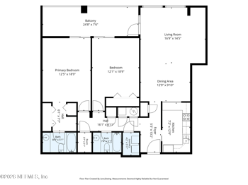
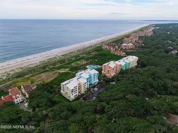
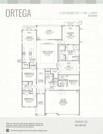
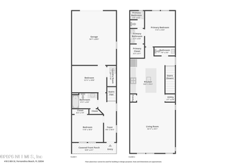
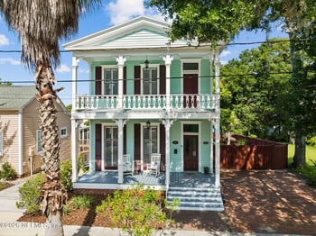
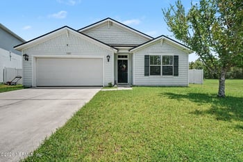
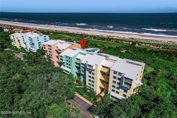
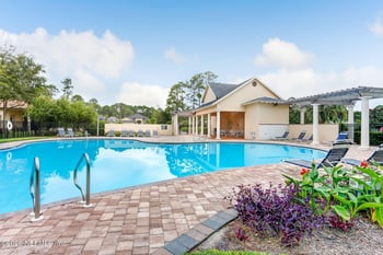
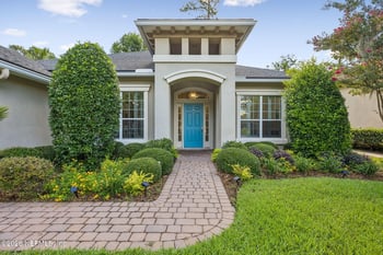
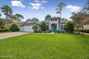
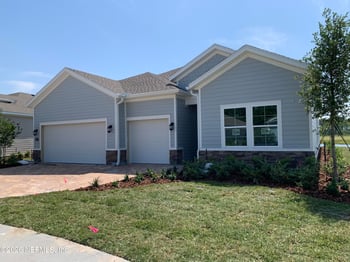
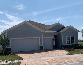
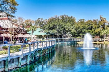
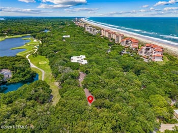
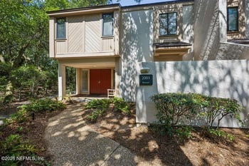
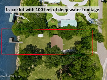
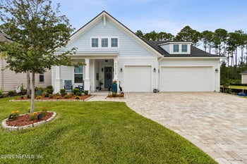
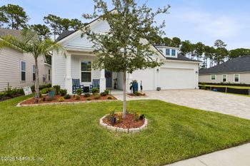
The homes shown below are an initial selection of up to 20 listings from the Fernandina Beach home search. They may include different property types and listings marked Active, Pending or Coming Soon. The selection is not filtered by distance to Fort Clinch, and some addresses may fall outside Fernandina Beach city limits. Listing status can change, so confirm the current status of a home that interests you. For more choices, explore Fernandina Beach homes for sale and check the actual route to your preferred park destination from each address.